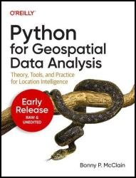
 Название: Python for Geospatial Data Analysis: Theory, Tools, and Practice for Location Intelligence (Eighth Early Release)
Автор: Bonny P. McClain
Издательство: O’Reilly Media, Inc.
Год: 2022-10-03
Страниц: 200
Язык: английский
Формат: epub (true)
Размер: 113.2 MB
There are a variety of options in geographic information systems (GIS) software with pros and cons associated with all of them. Why explore geospatial data analysis with Python programming? Python has been embraced by the geospatial community and can be found integrated with a wide variety of commercial products such as ESRI, backend for other software packages such as QGIS and Geographic Resources Analysis Support System (GRASS), and Google Earth. Author Bonny P. McClain demonstrates why detecting and quantifying patterns in geospatial data is vital. Both proprietary and open source platforms allow you to process and visualize spatial information. This book is for people familiar with data analysis or visualization who are eager to explore geospatial integration with Python.
 Название: Classic.Retro.Modern. Magazine

 Название: Istio Ambient Explained: Getting Started with Istio Ambient Service Mesh
 Название: Canadian Architect
 Название: Photoshop User
 Название: Building Solutions with the Microsoft Power Platform: Solving Everyday Problems in the Enterprise (Seventh Early Release)